
Howell ZIP Coverage
Howell Township is served by more than one postal label. The county list identifies Howell 07731, while official local material also places Howell Township addresses under Farmingdale 07727 and Freehold 07728. Adelphia 07710 is a historic Howell place name paired with a ZIP on that county post-office list. These are useful starting labels, not parcel lines. A ZIP code directory works best when it keeps the postal designation separate from the township named in a tax record or deed.
| ZIP | Areas Covered | Post Office | Notes |
|---|---|---|---|
| 07731 | Howell and North Howell | Howell | Primary Howell Township postal identifier; verify the exact address. |
| 07727 | Farmingdale designation and some southern or southwestern township-area addresses | Farmingdale | Howell High School uses this mailing designation; postal city is not municipal jurisdiction. |
| 07728 | Freehold designation used by some Howell Township addresses | Freehold | Official Howell material documents the mismatch; compare USPS and the parcel map. |
| 07710 | Adelphia place-name context in Howell history | Adelphia | County list confirms the pairing; confirm each parcel's service and boundary. |
| 07722 | Nearby Colts Neck-area designation | Colts Neck | No inspected official source confirms it for a Howell Township parcel. |
The last row is deliberately a caution, not an added Howell ZIP. Broader third-party lists may associate 07722 with Howell, but the official sources inspected did not confirm that assignment. The county list is a post-office list, not a municipal map, so it cannot establish which side of a township line a particular delivery address occupies.
The difference matters in both directions. A Howell postal label can reach beyond the Township, while a Howell parcel can carry a Farmingdale or Freehold mailing designation. The county's 2025 Howell Halloween material includes Howell addresses with both 07731 and 07728. Howell High School uses Farmingdale 07727. Those official examples support a verification workflow, not a claim that an entire ZIP belongs to one municipality.
Howell ZIP Boundary Myth
A postal city, a situs, and a legal description answer different questions. The situs is the physical parcel location. A tax-card mailing address is where correspondence goes. The legal description is the deed language that identifies land. USPS uses a city and ZIP for delivery. The Howell tax-map viewer keeps the owner mailing street, city, state, and ZIP separate from the parcel location and legal identifiers, which is exactly why a Freehold or Farmingdale mailing label should not be used to reclassify a Howell parcel.
For older research, locality names add another layer. Jerseyville was known as Green Grove until 1854. Around 2003, about 58 acres near Pine View and Ramtown shifted from Wall Township into Howell. A pre-change deed may therefore require both municipal names, a prior lot, and the legal description before its modern postal label makes sense.
Municipal maps, county parcel data, and postal delivery maps also have different roles. Township maps can orient a search around roads, voting districts, fire districts, zoning, and service areas. The County GIS identifies parcel geometry. USPS verifies delivery. When the labels disagree, preserve each one as a separate research field instead of selecting the label that seems most familiar.
Howell ZIP Search Fields
Monmouth's public property tools do not offer one universal ZIP-wide resident search. The Tax Board search is keyed to street, owner, block and lot, and year. The consolidated property search uses township plus an address, owner, block and lot, or map selection. The ArcGIS Property Viewer uses parcel geography, shape, block and lot, or a buffer. The voter status check is person-based and controlled. A ZIP can narrow the work, but it is not a common field that returns every Howell household.
| Tool | Observed fields | ZIP limitation |
|---|---|---|
| Tax Board OPRS | Street name, township, year; or owner, block, lot, qualifier, and year | No ZIP filter in the observed modes. |
| Consolidated property search | Township plus street or partial street, owner, block and lot, or map controls | Use a USPS-confirmed address, then inspect the parcel. |
| Property Viewer | Shape, map click, block and lot, or buffer | Map selection identifies parcels, not a ZIPwide resident roll. |
| Voter status check | Person name, date of birth, county, and an additional identifier | Specific registration confirmation only, not a geographic roster. |
The year dropdown in the tax search matters when comparing property records, but the inspected county page does not state a complete digital start year. Treat the postal directory as an address-organizing tool and keep the selected tax year with any parcel note.
Tax Board address mode asks for street name, township, and year. Owner mode uses an owner name, township, year, and tax-exempt control. Block-and-lot mode adds a qualifier and exemption choice. These fields explain why the useful key after a postal check is usually a normalized street or parcel identifier. The county tools can narrow an area, but they do not replace an address-by-address review.
Narrow a Howell ZIP
Use a postal label to reduce uncertainty, then move to the record key each public system actually accepts. That approach is more reliable than trying to turn a ZIP into a complete people list. It also preserves the difference between an assessed owner, a mailing contact, and a resident. Each result should be read as a dated record, not as a live household census.
- Run the complete mailing address through USPS, then retain the returned ZIP and postal city with the address.
- Search the Monmouth property tool under Howell Township using the street or part of the street, or locate the parcel by block and lot.
- Compare the property location, owner mailing field, and legal identifiers on the MOD-IV card or Howell tax map.
- Use the parcel viewer for location context, then confirm a recorded owner through the Tax Board result or the deed index.
- Use the voter status service only for a legitimate person-specific registration check; it is not a ZIP list.
Once the area is narrowed to a specific road or parcel sequence, the Howell street address directory provides the fuller street-by-street record chain.
Howell ZIP Terms
Postal vocabulary can make a record look more precise than it is. A delivery designation is useful for routing mail, while township and parcel fields establish municipal and land-record context. These terms clarify why a ZIP code search must be checked against the exact address and the property record.
- ZIP vs ZIP+4
- A five-digit ZIP identifies a delivery area. ZIP+4 adds four digits for a smaller delivery segment or address range; it does not change the municipal boundary.
- PO-box ZIP
- A ZIP used for post-office boxes can differ from the ZIP used for street delivery. No Howell-specific PO-box-only ZIP was confirmed in the inspected sources.
- Unique ZIP
- A ZIP assigned to one organization or large recipient. No Howell-specific unique ZIP was confirmed in the inspected sources.
- Carrier route
- A mail-delivery route within a ZIP area. It is a postal routing unit, not a property or resident list.
Note: A carrier route, voting district, tax block, and ZIP can overlap without sharing the same boundaries.
Howell ZIP Maps
The Township's map collection is the local bridge between a mailing label and the street, tax, zoning, voting, fire-district, park, and service-area views that define public geography. Howell Township Maps provides the source for this map view.
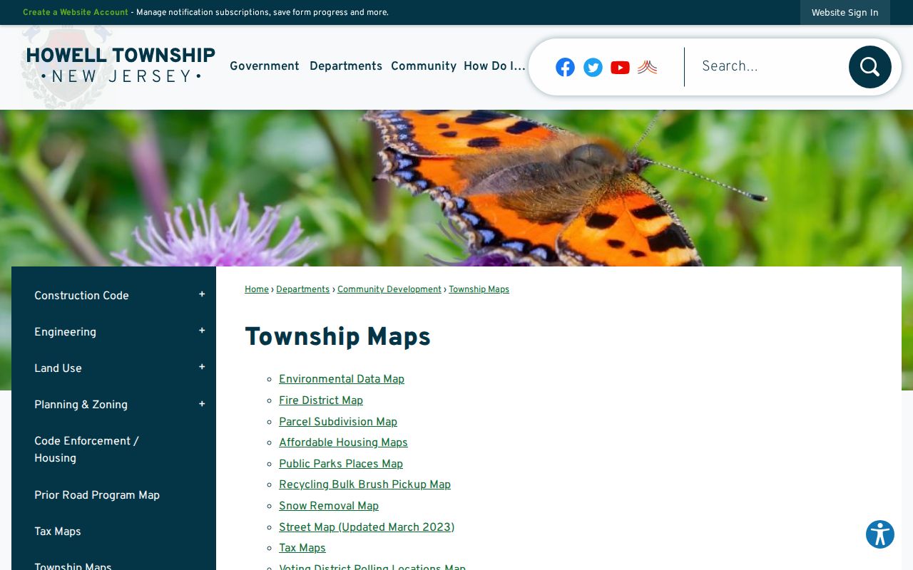
Map layers help a researcher place an address before checking its parcel. They do not convert a postal label into a municipal boundary or identify every person at a location.
Use the street map to recognize a road name and the tax map to capture a block and lot. The Property Viewer can then test the nearby parcel geometry by shape, block and lot, or buffer. Each layer supports a different part of the check. A service-area or voting map is useful context, but it is not a ZIP map or a record of household membership.
Howell ZIP USPS Check
The final postal check is address-by-address. USPS ZIP Code Lookup is the authoritative delivery check when a county list, directory entry, or tax mailing field conflicts with the address in hand.
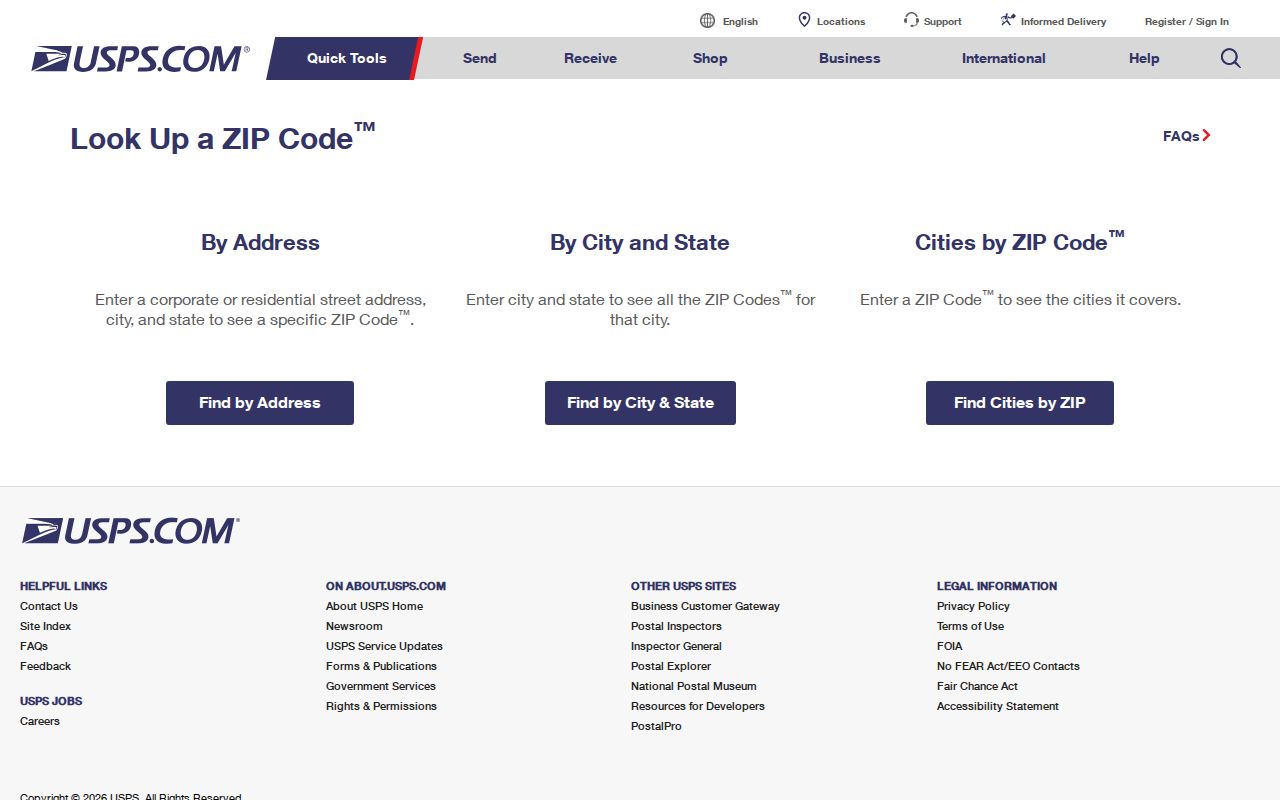
Use the USPS result alongside the tax-map situs and the deed's legal description. The three can describe related but different parts of the same address record.
Howell ZIP History
Historic locality names are often better search terms than a modern ZIP. Howell history names Adelphia, Ardena, Bethel and Southard, Freewood Acres, Jerseyville, Ramtown, and Squankum. Green Grove is the earlier name for Jerseyville. A rural-route entry, old post-office name, or former Wall Township description can be the bridge to a current Howell parcel, especially near Pine View and Ramtown. Compare the current block and lot with any historical block, prior lot, map sheet, and legal description shown by the tax-map viewer.
The County Clerk deed index can help establish a transfer trail, but online coverage is record-specific: deeds begin in 1970, mortgages in 1976, IRS lien records in 2010, and other published records in 1996. Earlier material requires the County Clerk's in-person books or an Archives path. Postal geography is useful context, never a substitute for those land-record keys.
No official per-ZIP Howell population or voter-registration table was located in the research. Postal coverage should therefore not be converted into a resident count. When the goal is to understand a cluster of addresses, record the USPS result, street, parcel identifier, and township separately, then verify each public record against the right custodian.
That record trail keeps a postal label useful without asking it to do work reserved for the parcel map, tax card, deed, or election office. It also preserves the date and source behind each conclusion.